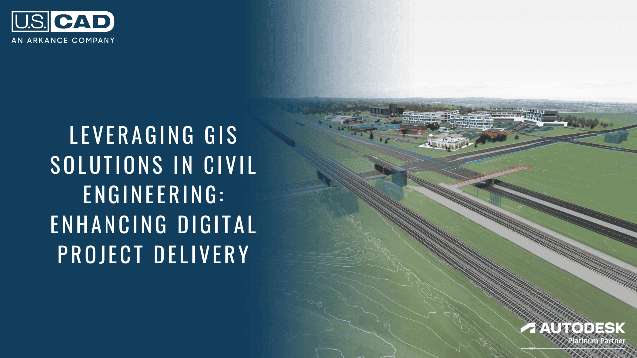
Leveraging GIS Solutions in Civil Engineering: Enhancing Digital Project Delivery

Geographic Information Systems (GIS) solutions are becoming increasingly important in civil engineering, an industry where precision and efficiency are crucial. Esri and Autodesk have taken this to heart, working to optimize and build user-friendly, robust platforms that will streamline workflows, improve decision-making processes, and, ultimately, enhance project outcomes. Let’s look at three important benefits of GIS solutions, with a particular emphasis on how they facilitate digital project delivery.
1. Enhanced Spatial Analysis and Planning
GIS gives civil engineers the capacity to perform complete spatial analyses, allowing them to make informed decisions based on real-world data. By overlaying various geographical layers, such as topography, land use, infrastructure, and environmental factors, engineers gain valuable insights into site suitability, risk assessment, and optimal route planning for infrastructure projects. Esri says, “GIS technology provides the framework for understanding where things are and how they relate to each other.” Accessing this data in an environment like Autodesk allows for faster decision-making on design options, which improves the process. Additionally, the quality of GIS data has become more reliable over time, and Autodesk and Esri’s work to connect data across platforms keeps making the experience better for end users.
2. Improved Asset Management and Maintenance
Effective management of infrastructure assets is crucial for ensuring longevity and functionality. Civil engineers can use GIS solutions to build detailed inventories of assets such as roads, bridges, utilities, and facilities, along with associated metadata such as installation dates, maintenance history, and condition assessments. This wealth of information enables proactive maintenance scheduling, asset prioritization, and resource allocation, resulting in cost savings and increased public safety. Autodesk highlights this point, stating that “GIS technology enables better decision-making by providing a complete picture of infrastructure assets.”
3. Collaborative Workflows and Stakeholder Engagement
Collaboration is essential for successful civil engineering projects, and GIS platforms allow project stakeholders to communicate and collaborate seamlessly. By centralizing project data in a spatially enabled environment, GIS fosters interdisciplinary collaboration, allowing engineers, planners, architects, environmental scientists, and policymakers to work together towards common goals. Stakeholders can access and view project data in real time via web-based mapping tools and interactive dashboards, promoting transparency and informed decision-making throughout the project’s life cycle. Esri and Autodesk continue to invest in Cloud platforms that enhance this level of engagement.
Digital Project Delivery: Streamlining Workflows and Enhancing Communication
One of the key benefits of GIS in civil engineering is its ability to facilitate digital project delivery. By digitizing workflows and leveraging cloud-based collaboration tools, GIS allows engineers to streamline project delivery processes from planning and design to construction and maintenance. With a centralized repository of project data accessible to all stakeholders, communication barriers are minimized, leading to improved coordination, reduced errors, and accelerated project timelines.
GIS solutions, like those from Autodesk and Esri, offer unparalleled advantages for the civil engineering industry, ranging from enhanced spatial analysis and asset management to collaborative workflows and stakeholder engagement. Investments in this technology will only continue. By embracing GIS technologies, civil engineers and government agencies have an opportunity to elevate their projects to new heights of efficiency, sustainability, and success in the digital era. U.S. CAD, An ARKANCE Company, is uniquely positioned to assist your firm in understanding how to leverage GIS and the tools provided by Esri and Autodesk.
Get in touch with one of our experts to learn more or to schedule a personalized demo.


